- You cannot add "American Bible Society Bible Resource Center Maps (Normal Resolution version NOT FOR SALE)" to the cart because the product is out of stock.
Nelson’s Complete Book of Bible Maps and Charts
Description
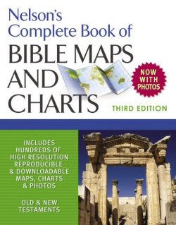
This updated edition of Thomas Nelson’s popular Complete Book of Bible Maps and Charts has everything you need to visualize the events, places, and people in the Old and New Testaments.
This updated edition of Thomas Nelson’s popular Complete Book of Bible Maps and Charts has everything you need to visualize the events, places, and people in the Old and New Testaments.
Perfect for small-group leaders, Bible school teachers, or if you’re simply curious about biblical times, Complete Book of Bible Maps and Charts provides a visual overview of the Bible in its entirety. Valuable resources include new, full-color, high-resolution maps and charts along with downloadable PDFs for presentations and classes; tables, charts, and diagrams that organize Bible information for ease of learning and memorization; historical articles providing insight into Bible times; and introductions to each book of the Bible.
An overview of the book from inside theWORD:
theWord Features:
- Illustrations
- Bible Maps
- Bible Charts
- Cross References
- Tables
- Surveys
Nelson’s Complete Book of Bible Maps and Charts has a lot of resources for the pastor, Bible teacher or the Sunday School teacher to help them in their preparations.
American Bible Society Bible Resource Center Maps
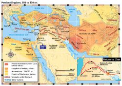
Sixteen (16) high-resolution maps of Bible lands which are in color at 300dpi resolution for high-quality printing and viewing. The integrated Graphics Viewer of theWord allows zooming, panning, and easy navigation. With these high-quality maps, you can locate places and their relationships one to another very easily. The areas are in a red font, and the cities are in a black font. These maps are not even available on the American Bible Society website, so this is a great resource for the Bible student.
While any Bible student needs this kind of resource, this is especially excellent for Bible class teachers, Sunday School teachers, and pastors as you can copy and paste these images into your own personal Bible presentations. When these high-resolution maps are projected (enlarged on a projection screen), they still look very good. This is not true with images downloaded off of the Internet. High-resolution maps of Bible lands are hard to find.


