
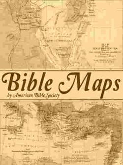


AUTHOR: American Bible Society
PRODUCT HIGHLIGHTS: Sixteen full-color, detailed, high-resolution maps of Bible lands.
DESCRIPTION:
All maps are in color at 300dpi resolution for high-quality printing.
The integrated Graphics Viewer of theWord allows zooming, panning, and easy navigation.
This work includes 16 high-resolution maps that can be manipulated within theWord to enlarge and viewed in detail:
- The Ancient Near East
- Egypt and Sinai
- Division of Canaan
- The United Israelite Kingdom
- Jerusalem in Old Testament Times
- The Kingdoms of Israel and Judah
- Assyrian and Babylonian Kingdoms
- Persian Kingdom
- Palestine in the Time of the Maccabees
- Growth of the Roman Empire
- Palestine Under the Herods
- Palestine in the Time of Jesus
- Jerusalem in the Time of Jesus
- World of the New Testament
- Paul’s First and Second Journeys
- Paul’s Third Journey and His Journey to Rome

Reviews
There are no reviews yet.